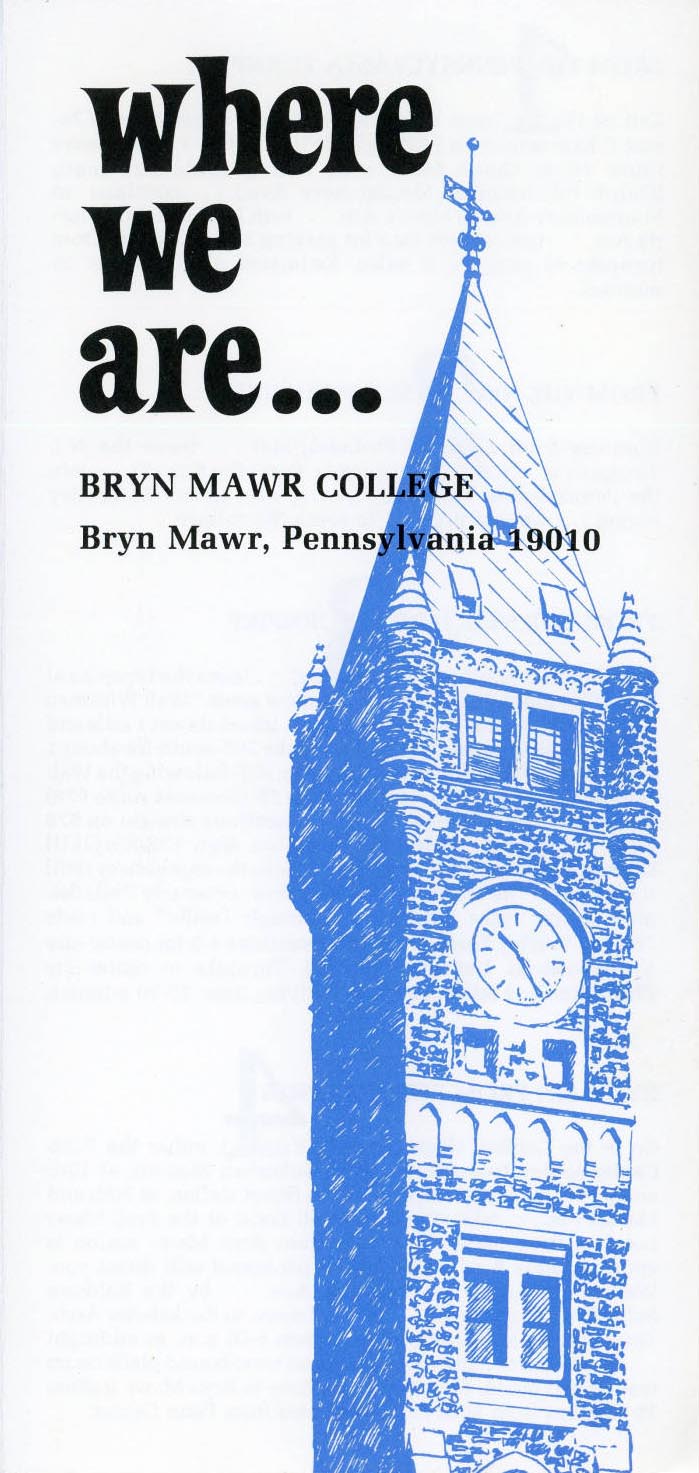
Bryn Mawr College driving directions (n.d.) in Bryn Mawr College Campus Maps.
Maybe it’s because I’ve only been here for two months, or maybe it’s just nostalgia for my own college days, but with Customs Week at Bryn Mawr wrapping up, and classes getting underway, I’m feeling sympathy for new students and faculty navigating campus. Even with ten days living in a Pem East single as a CLIR Fellow under my belt, I still keep a copy of the current campus map in my bag and bookmarked on my iPhone. (At least I’m no longer confusing Taylor with Thomas!)
I’ve also been thinking a lot about maps after taking my first introduction to ArcGIS mapping software last month, as part of a Mellon-funded Tri-Co Environmental Studies initiative organized by Swarthmore College. Over three days, I joined nearly twenty Tri-Co faculty members interested in the possibilities of organizing spacial data. With most of us new to ArcGIS, the workshop opened with two basic questions:
- What kinds of spacial questions do you encounter in your research?
- What kinds of spacial questions do our students encounter in their classes?
To put it another way, maps can tell us where we are, but can they tell us who we are?
Swarthmore’s Megan Heckert, our instructor (and a new Assistant Professor of Geography and Urban Planning at West Chester University) introduced us to the ArcGIS software and related issues of open data, cartographic design, and geocoding. Many of us quickly learned that GIS software has a steep learning curve. “It takes a while before [GIS] gets to the part that tells you something about the world,” Megan warned us during her lectures and hands-on activities, as she valiantly answered our questions and, sometimes, witnessed our many frustrations.
Having left the 21st century world of mapping with more questions than answers, I returned to my office and began to explore the collection of Bryn Mawr campus maps digitized and made available through Triptych, the Tri-College Digital Library.The questions we learned to ask in the GIS workshop guided my browsing: what were the purposes of these maps? Who was the audience? What kinds of information could be gathered from their design?
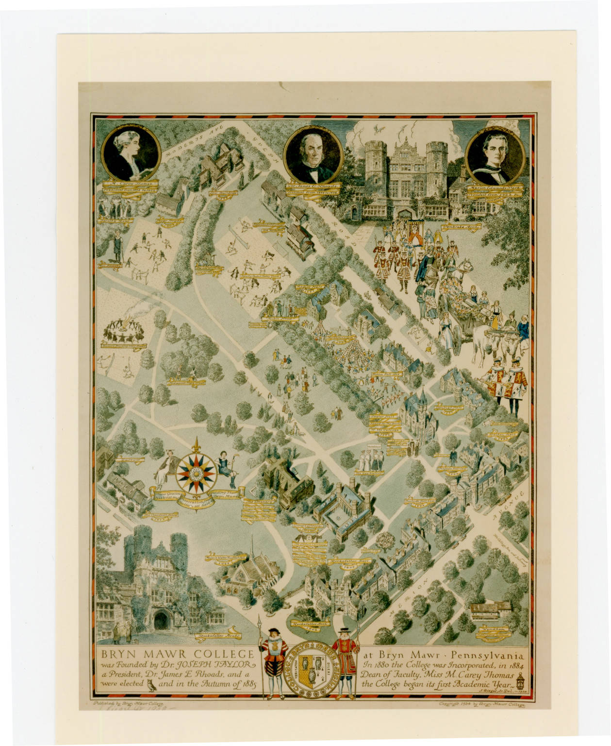
Campus Map, 1934. Bryn Mawr College Special Collections.
The Bryn Mawr maps tell stories about how the College has viewed itself over time. They’re a fascinating resource for the women’s historian — I can’t wait to use them in the class I’ll teach next semester on women’s education history. My favorite maps are those created by students, full of inside jokes, some still-legible to the contemporary Mawrter.

Campus map in The Book of the Class of Nineteen Twenty-Six, 1926. Bryn Mawr College Special Collections.
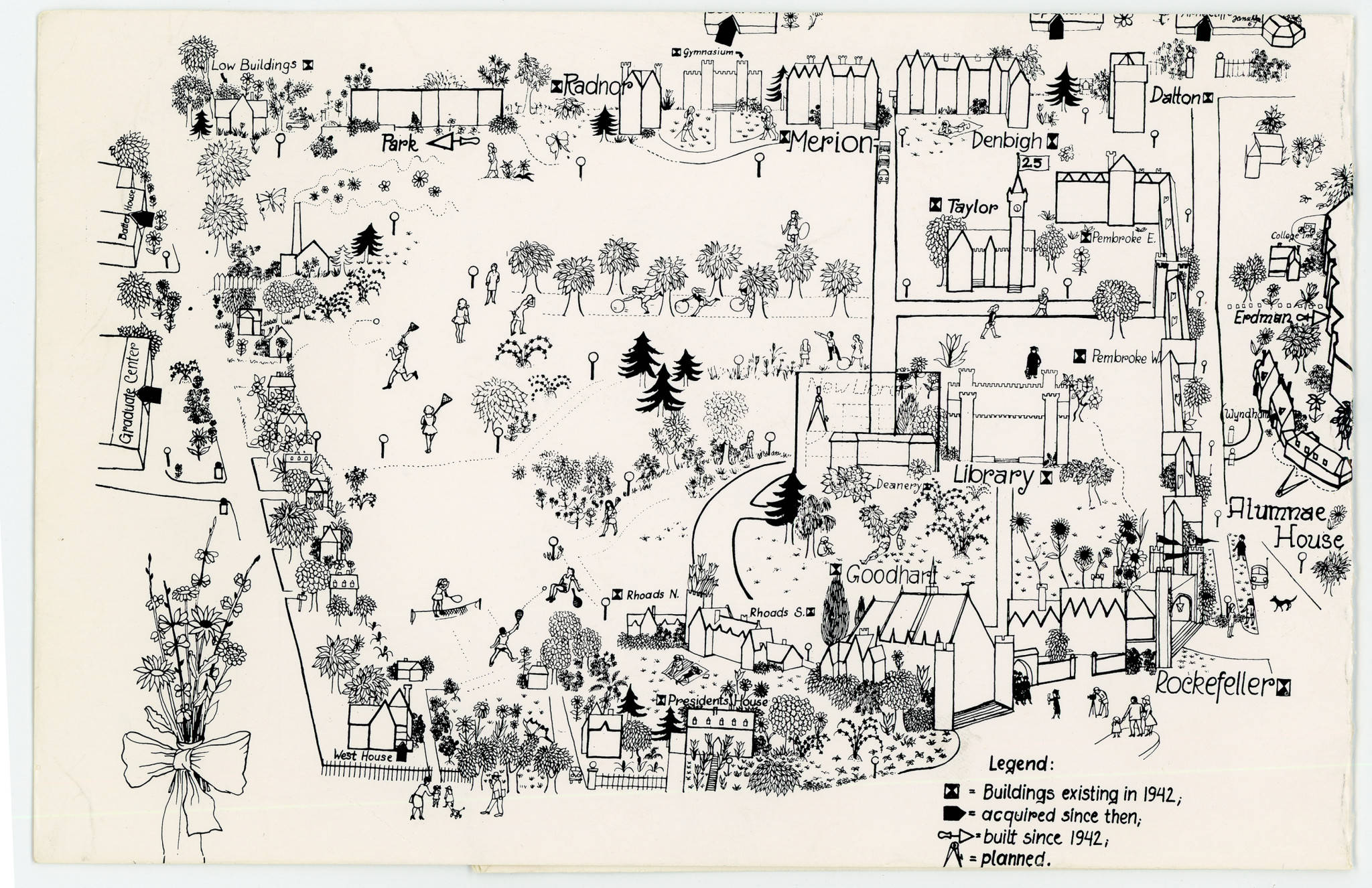
Campus map, 1967. Bryn Mawr College Special Collections,
Attempting to add new software to my digital toolbox was an eye-opening experience — a reminder of what it means to introduce our students to new technologies and platforms, and of the prep that goes into creating effective assignments. I left Swarthmore with a new vocabulary, but also admitted to myself that the mapping software was more than I need right now to ask and answer questions about topics ranging from the first students at the “Seven Sisters” women’s colleges to histories of diversity at Bryn Mawr. More importantly, I learned about the Tri-Co resources supporting a wide range of mapping tools (and don’t we always tell our students, don’t be afraid to ask your librarians questions?)
Do you have a favorite mapping project to share? I’d love to hear more in the comments.
* * *
Mapping Resources and Further Reading
Bryn Mawr Campus Maps on Triptych
Simple Mapping Tools Research Guide, via Bryn Mawr College Library
Haverford College Libraries Digital Scholarship Toolboxes: Create Maps
Hillary Iris Lowe (Temple University), “Resources for Students in History and American Studies with Interests in Digital Projects”
Jen Jack Gieseking (Bowdoin College), “Gender, Sexuality, & Space: A Bibliography”
Jessica Camille Aguirre, “The Unlikely History of the Origins of Modern Maps,” Smithsonian.com (June 2, 2014)
DIRT: Digital Research Tools for Mapping
Pingback: “Where We Are…” | Monica L. Mercado, Ph.D.
Pingback: Looking Back, Thinking Ahead: The Greenfield Digital Center Summer Recap | Educating Women